The name comes from the Sibyl. According to medieval legend — there's a fifteenth-century French novel that spread the story across all of Europe — a prophetess lived in a cave near the summit, and the cave was the entrance to an underground kingdom. The knights who climbed to seek her out didn't all come back. The cave exists. The legend is still there. The mountain, at 2,173 metres, too.
The loop that circles the Monte Sibilla ridge starts from the Rifugio Sibilla at 1,540 metres, climbs to Monte Zampa, follows the ridge to the summit of the Sibyl, and returns along a gravel track. 12.3 kilometres. 610 metres of elevation gain. Difficult level. From the ridge, views take in the Adriatic on one side and the Gran Sasso on the other.
From Casa della Nonna Elsa it's about 80 km southwest, in the province of Ascoli Piceno.
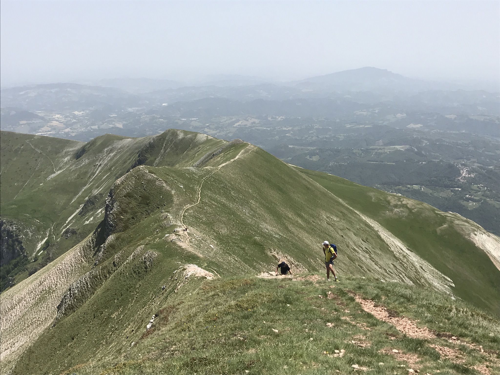
The Monte Sibilla ridge, 2,173 m. Foto: komoot.com
The route: key facts
- Total distance: 12.3 km
- Elevation gain: 610 m
- Highest point: 2,173 m (Monte Sibilla summit)
- Lowest point: 1,537 m
- Difficulty: Difficult
- Estimated time: 4h 45min – 5h 30min
- Komoot rating: 4.7/5 (87 ratings)
- Start and end: Rifugio Sibilla, Montemonaco (Ascoli Piceno)
- Parking: next to the refuge
Three stages of the route
The climb to Monte Zampa. The circuit runs anticlockwise. The first hour is the hardest: you gain height quickly on the initial section toward Monte Zampa (1,791 m). From here the first big view opens — Lago Gerosa, Monte Banditello, the plain all the way to the Adriatic.
The ridge to the Sibyl. From Monte Zampa to the Sibilla summit is about three kilometres of ridge path. The terrain is exposed — drops on both sides in some sections — and the path is narrow. Just before the summit there's a five-metre rock band: a fixed chain is there to help. Not technically difficult, but it requires concentration and a solid head for heights. Once at the top, at 2,173 metres, the view is 360°: the sea on one side, the Vettore, the Redentore, the Priora, the Gran Sasso in the distance.
The descent via the track. From the summit, around 750 metres of exposed and slightly technical descent — you'll need to use your hands at one point. After that the terrain opens out and the return to the refuge is along about seven kilometres of gravel track. Easy going, less scenic.
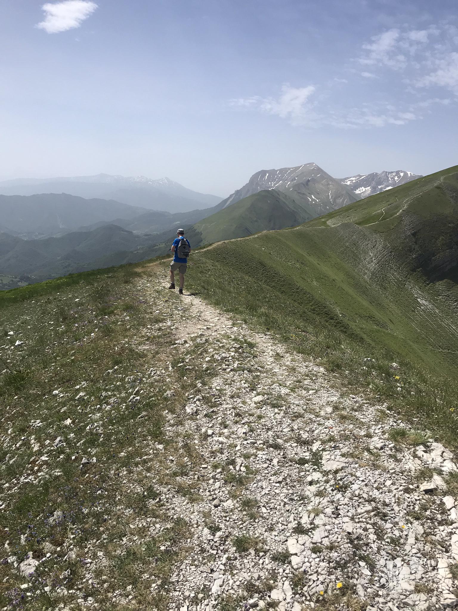
The ridge toward Monte Zampa, with views to the Adriatic. Foto: komoot.com
What to know before you go
Who this route is for. Experienced mountain hikers. Not for families with young children, not for anyone who struggles with heights, not as a first outing of the season. The exposed sections are real. If the Lame Rosse Trail or the Infernaccio Gorge and San Leonardo are more your level, this route is the next step up, not the same.
The chain section. About four kilometres in, just before the summit, there's a five-metre rock passage with a fixed chain. No specialist gear required, but hands-free and grippy footwear are. No real difficulty for anyone used to mountain terrain.
The descent at km 8.77. There's a landslide zone where the path disappears and you descend cross-country over loose ground. This is the most technically demanding moment of the whole circuit. Poles and attention.
Water. There is a mountain spring at the refuge — the only one on the entire route. Fill your bottles before setting off.
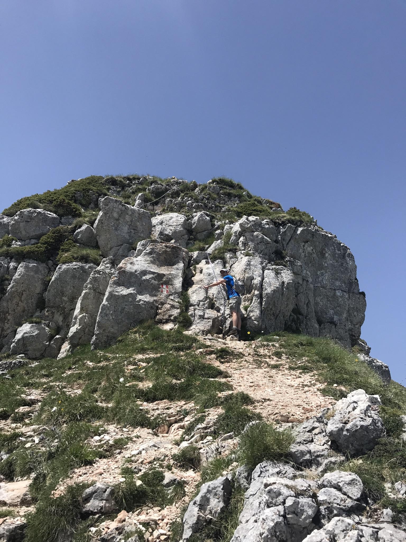
From the Monte Sibilla summit: Monte Vettore to the right. The Gran Sasso in the distance. Foto: komoot.com
The access road: read this before leaving
The road up to the Rifugio Sibilla is one of the more practical aspects of the day. It's about five kilometres of narrow mountain road — less than a lane and a half — with tight hairpins and significant elevation gain. In high season the municipality of Montemonaco may restrict private vehicle access and run a shuttle from below, at €3 per person each way.
Before going, check the Montemonaco municipality website or the Parco Nazionale dei Monti Sibillini page for any current restrictions.
When to go
May to July the massif is at its best: snow gone, slopes covered in grass and wildflowers, visibility good. The early morning hours are the best — both for the light and to avoid the afternoon cloud that in summer can build from the Adriatic.
In winter the ridge can be snowbound and icy. This is not a route for inexperienced hikers in snow conditions.
The map
See the full route on Komoot — interactive map, elevation profile and GPX download.
Getting there from Monterubbiano
From Casa della Nonna Elsa it's about 80 km southwest, in the province of Ascoli Piceno, in the direction of Montemonaco. The road crosses the whole of inland Le Marche — hills, valleys, then mountain. The Rifugio Sibilla is at the end of the access track that climbs from Montemonaco.
Leave early. With 4h 45min of hiking plus breaks, to eat at the refuge at midday you need to be moving before eight.
The other two routes in the series, if you want to compare levels: the Lame Rosse Trail (difficult, 70 km from the house) and the Infernaccio Gorge and San Leonardo Hermitage (moderate, 50 km). And if you want a feel for the park as a whole before deciding, we have a complete guide to the Monti Sibillini.
Route: Monte Sibilla Loop on Komoot · 12.3 km · 610 m elevation gain · Difficult · Monte Sibilla, 2,173 m · Parco Nazionale dei Monti Sibillini, Ascoli Piceno