The Tenna river has been doing the same thing for centuries: cutting through rock. The result is the Gola dell'Infernaccio — a gorge with vertical limestone walls at the heart of the Parco Nazionale dei Monti Sibillini, where the path follows the water between pale rock faces. At the far end of the gorge the trail climbs to the Eremo di San Leonardo al Volubrio, a medieval hermitage wedged into the hillside where the friars decided, sometime in the thirteenth century, that they wanted to live as far from everything as possible.
Moderate level. For families, for anyone who hasn't walked much, for anyone who wants a first taste of the Sibillini without starting at the harder end.
From Casa della Nonna Elsa, the trailhead is about 50 km away. Less than an hour by car.
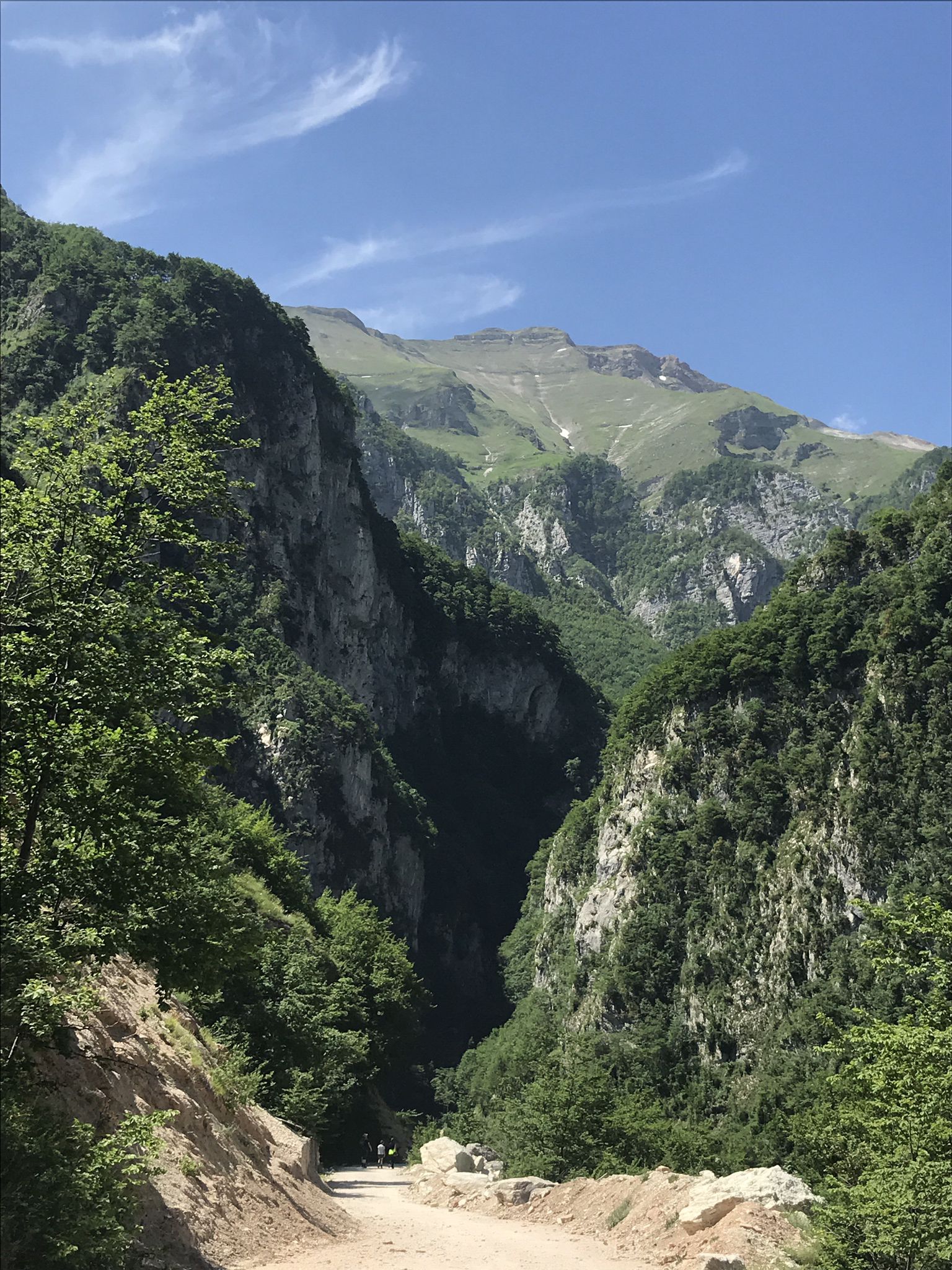
The Gola dell'Infernaccio, inside the Parco Nazionale dei Monti Sibillini. Foto: komoot.com
The route: key facts
- Total distance: 10.9 km
- Elevation gain: 340 m
- Highest point: 1,100 m
- Lowest point: 830 m
- Difficulty: Moderate
- Estimated time: 3h 30min
- Komoot rating: 4.6/5 (78 ratings)
- Start: Rubiano (Montefortino), province of Fermo
- Parking: at the trailhead
What you'll see
Three distinct sections, each with its own feel.
The first is the Gola dell'Infernaccio. You reach the entrance to the gorge at 3.6 km — until then, the path runs along a forest track without any real difficulty. The gorge itself is narrow, damp, and cool even in summer: limestone walls filter the light, the water runs alongside you, and the name — Infernaccio, roughly "big hell" — turns out to be somewhat exaggerated for what is actually a rather pleasant place.
The second is the Eremo di San Leonardo al Volubrio, at 5.4 km. The climb from the gorge to the hermitage takes around 30 minutes. The hermitage is wedged into the rock of the hillside — not large, not imposing, but with the quality of a place that has held on for centuries where no one in their right mind would build anything.
The third is the view of the Tenna river valley at 7.6 km, already on the descent. Across the river, on the far wall of rock, you can make out the entrance to the Buco del Frassino — a cave that looks much larger from a distance than it actually is.
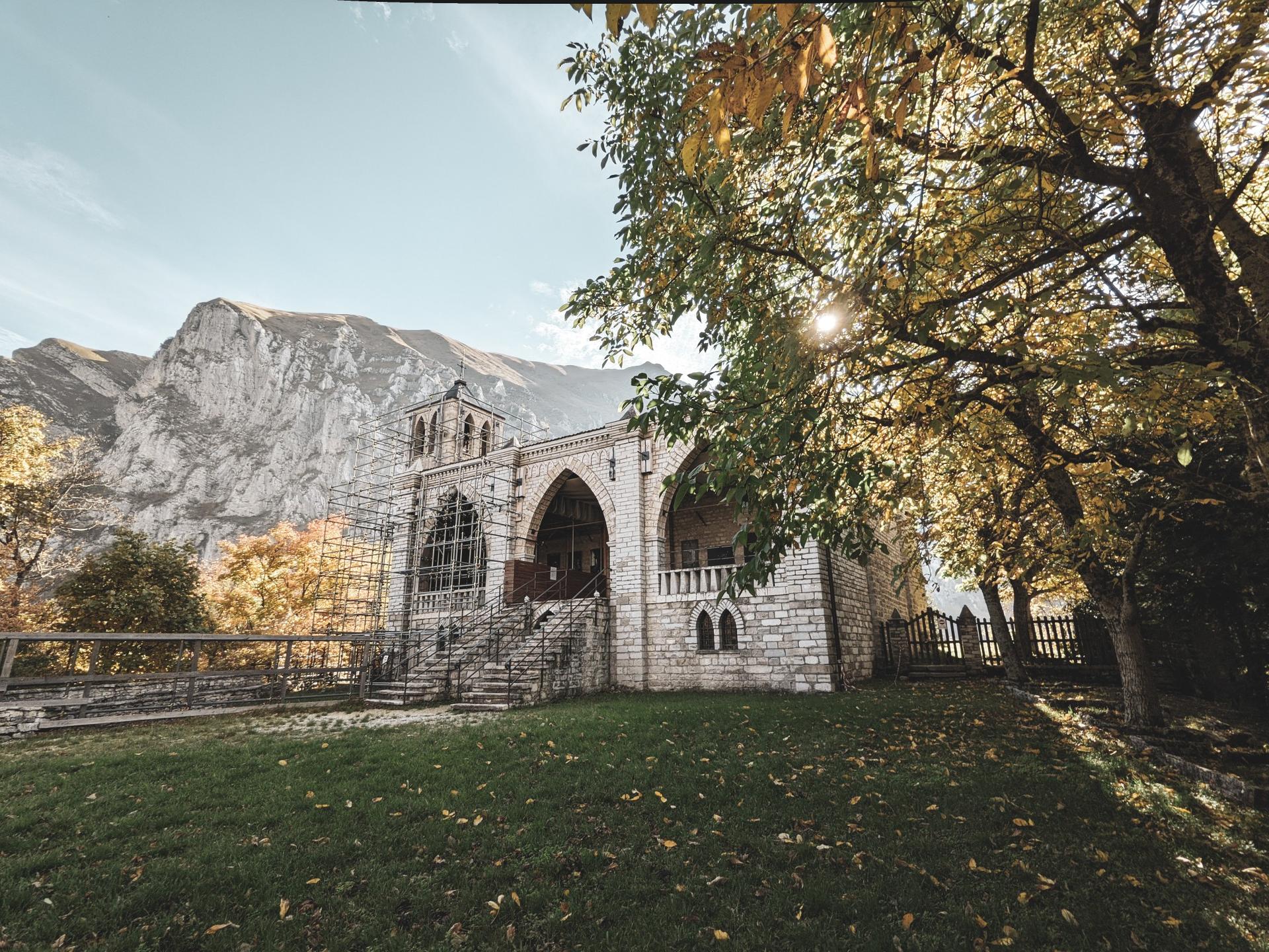
The Eremo di San Leonardo al Volubrio. Foto: komoot.com
Two things worth knowing before you go
Part of the route is on a road. Almost half the total distance (around 5 km) runs along a paved access road to the area. It's not a main road — it's the forest road that climbs toward the gorge — but during high season cars do pass. Some hikers park further along, at a small information kiosk, and skip that stretch.
The hermitage may be closed. It's not always open to visitors. If getting inside the hermitage is the point of the outing, it's worth looking for up-to-date information before going. If what draws you is the hike itself — the gorge, the forest, the views — a closed hermitage doesn't change much.
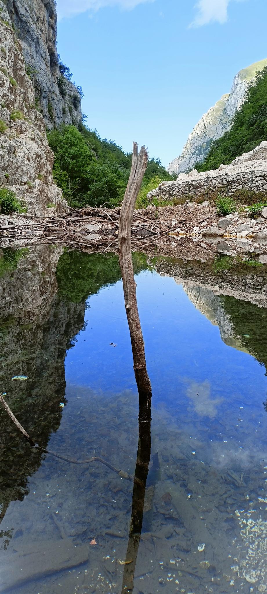
View of the Tenna river valley and the Buco del Frassino. Foto: komoot.com
Who this trail is for
Anyone in basic good shape. The total elevation gain is 340 metres — less than half the Lame Rosse Trail — the terrain requires no technical experience, and most of the path is wide and well-marked. Families with children from ten upwards shouldn't have any issues. Dogs do fine here too.
Spring and summer are the best months: the Gola dell'Infernaccio has more water in spring and the gorge temperature stays cool. In summer, starting early is worth it.
The map
See the full route on Komoot — interactive map, elevation profile and GPX download.
Getting there from Monterubbiano
From Casa della Nonna Elsa it's about 50 km inland, through the province of Fermo toward Montefortino. The road crosses several hills before starting to climb toward the Sibillini. The village of Rubiano sits just before the entrance to the gorge — parking at the trailhead.
For a comfortable outing, leave at nine. Back for lunch.
If you want something more demanding in the same part of the park, the Lame Rosse Trail is 20 km further north — 520 m of elevation gain, difficult level, and the most photogenic red rock formations in Le Marche. For an overview of the park, we also have a complete guide to the Monti Sibillini.
Route: From Rubiano to Eremo di San Leonardo on Komoot · 10.9 km · 340 m elevation gain · Moderate · Parco Nazionale dei Monti Sibillini, province of Fermo